- This event has passed.
Odyssey Land Navigation Clinic
March 20, 2021 @ 8:00 am - 10:00 pm
Location: Next Level Fitness and Healing
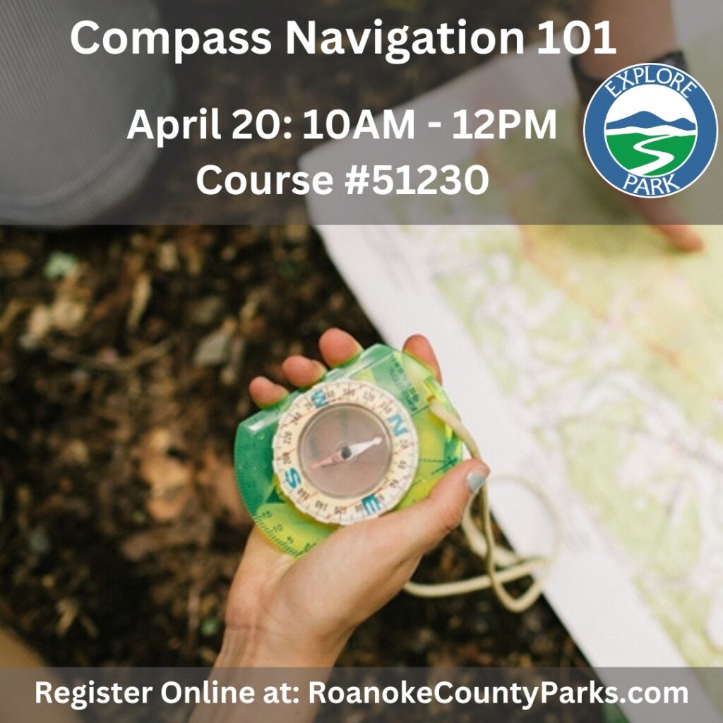
Navigation is a MUST for adventure racers who want to excel at the sport. It doesn’t matter how fit or strong you are if you are moving in the wrong direction! If you do not know how to use a map and compass, trust us, you will not stay on course.
You are most likely spending a great deal of time, energy and commitment in your training just to get to the starting line. Make sure you have also committed to upgrading your navigation game so all your hard work can be seen.
The Odyssey Land Navigation Clinic is an information-packed day of compass, topographical map study and orienteering in Roanoke. We’ll spend the first part of the day (5-6 hours) with classroom instruction. This is a great time to get to know one another, ask questions, and learn the foundational principles of top level navigation. The next 6 hours we’ll get out into the beautiful woods and spend 6-8 miles on foot at a slow learning pace, mostly off trail through thick brush, open forest and steep hillsides.
You will learn what the best adventure racers know and how to work together with a team to navigate successfully.
Although this clinic is excellent for all outdoor enthusiasts – mountain bikers, hikers, backpackers, and general adventurers who want the confidence and skill to explore their limits in nature – it is uniquely designed for the adventure racer.
If you are an Adventure Racer, this is the next step in taking your race results to the next level!
The Odyssey Land Navigation Clinic will:
Explain different types of maps
Explain different types of map scales
Teach how to use all the information on a topographical map
Identify land features on a map
Teach how to identify land features in the field
Teach how to use a compass and its different features
How to set up and use a GPS device with a map
Show an easy way to understand and use declination
Teach how to measure and plot a bearing on the map
Teach how to take and follow a bearing in the field
Teach how to plot UTMs (Universal Transverse Mercator)
Teach how to make and use a plotting tool for a map of any scale
Show what tools are needed to plot successfully
Teach route finding skills
Teach how to use land features to your advantage during the day and night
Show how to estimate pace count and when to use it
Teach how to transition from one map to other and keep all the information flowing
Teach how to work with a team to navigate successfully
Class size maximum of 8
Link: Odyssey Land Navigation Clinic Website


 Powered by Roanoke Outside