
Hiking
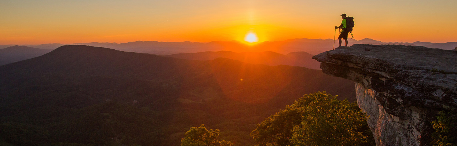
Within minutes of downtown Roanoke are hundreds of miles of trails ready for you to explore. Leave the asphalt, cars, and noise behind and lose yourself while taking a walk in the woods. From the well-known Appalachian Trail and its most photographed point, McAfee Knob, to some hidden gems such as Harkening Hill or Hoop Hole Trail, there’s a hike that suits every type of adventurer.
Each of the hikes in this list includes trail information, tips for parking, what you should look for along the way, and how tough (or easy) the hike will be. Some of the hikes are designed for overnight backpackers as well.
So lace up your boots, grab a bag and hit the trail. You won’t be disappointed. (We pretty much guarantee it!)
Hikes By Location

All Hikes
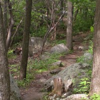
Go for a hike! From a leisurely stroll to a strenuous climb, the Roanoke Region has a hike for every skill level.

Roanoke Hikes
You don't have to wander far from home to experience some of the best hiking on the East Coast, with dozens of trails right here in Roanoke. Chances are there's a trail head within a …

Appalachian Trail Hikes
The Appalachian Trail is a 2,175-mile trail following the Appalachian Mountains from Georgia to Maine, with 120 miles of the trail winding through the Roanoke Region. The A.T. offers dozens of short and long hikes, …
Blue Ridge Parkway Hikes
Hundreds of hiking trails are tucked away within the 469 miles of the Blue Ridge Parkway. These trails provide dazzling images of wildflowers on rolling pastures, cascading waterfalls (some with natural rock water slides), blue …

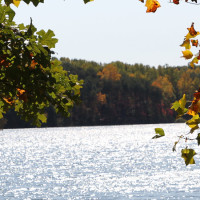
James River Hikes
In addition to being an incredible river for fishing and boating, the James River watershed is also home to incredible hiking. Whether you are looking for a short hike or a full day workout, these …
Alleghany Highlands Hikes
The Alleghany Highlands is an outdoor recreation, and hiking, mecca with plenty of trails to explore. Douthat State Park was named one of the nation’s 10 best state parks by the Outside Family Vacation Guide. The …
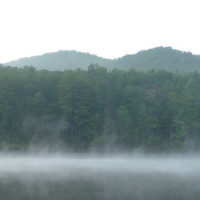
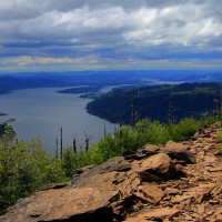
Smith Mountain Lake Hikes
Although it may be better known for water sports and fishing, Smith Mountain Lake also has great trails to explore. From hikes in the state parks in the Smith Mountain Lake area to more secluded …
New River Valley Hikes
The New River Valley is home to great hikes. Grab your water bottle, lace up your boots, and go explore. Here are a few places to start: The Huckleberry Trail is an asphalt-paved bike/pedestrian path, spanning from …

Craig County Hikes
From an old mine to a raptor observatory, this group of hikes includes a few short options to longer scenic routes. The most-well known hike in Craig County might be Dragon's Tooth, which includes a unique …
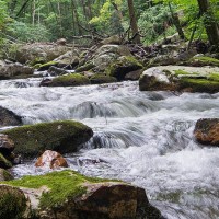
Hikes to Waterfalls
Looking for a fun hike? Try taking a path that leads to one of the many waterfalls in the Roanoke Region. These rewarding hikes end with some spectacular views (and a place to get your toes …

Create Your Own Land Adventure
Get Started Powered by Roanoke Outside